Welcome to the CPEC
Register
|
Login
Toggle navigation
首页
数据
数据分析
考察图片
标准规范
关于
Return to CPJRC
当前位置:
首页
数据
数据
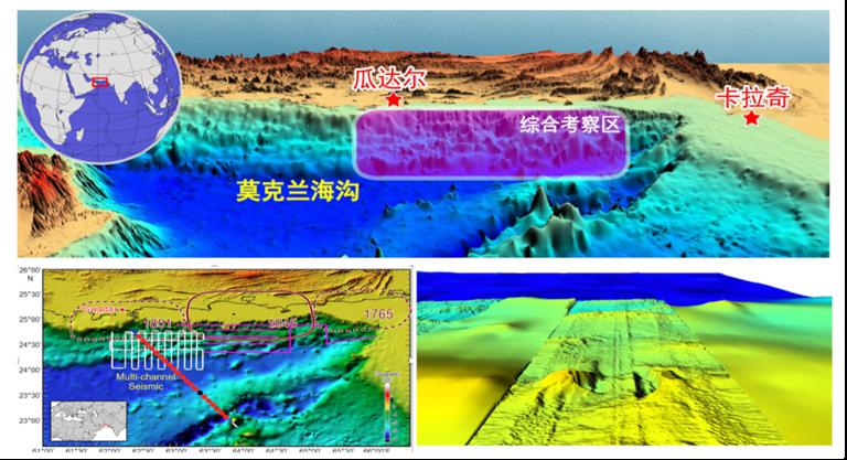
2021年0.25º×0.25º莫克兰海沟与瓜达尔港地区海洋地质与地球物理系列图
根据全球数据,提取研究区的地震、重力、磁场等数据,使用MATLAB制作数字地图......
2022-10-28
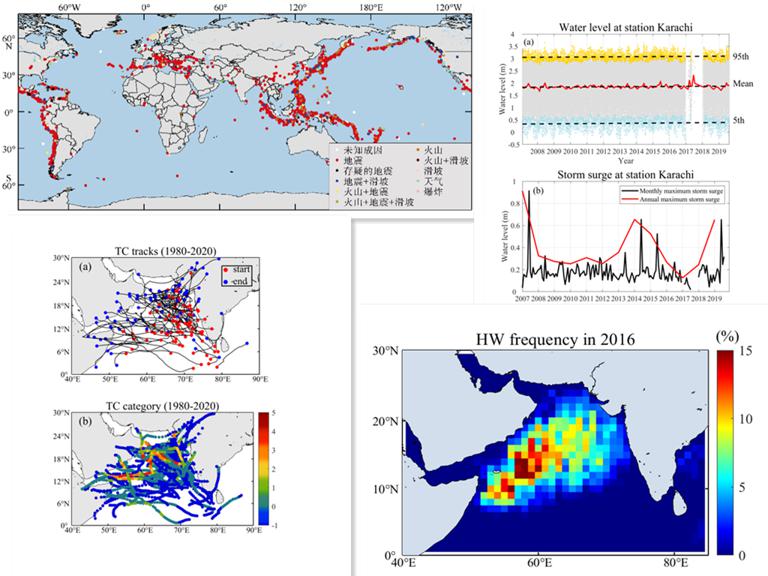
1998-2017年0.25º×0.25º巴基斯坦海域海啸、巨浪、台风和风暴潮分布图
根据全球数据,提取巴基斯坦海域的海洋地震、海啸、巨浪、台风、风暴潮等时空信息、使用MATLAB制作数字地图,格点大小为0.25º×0.25º......
2022-10-28
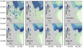
0.25º×0.25º莫克兰沿岸带与瓜达尔刚地区海啸危害性评估系列图
根据相关数据设定俯冲带断层不同滑移模型、数值模拟研究区范围内的最大波高,制作数字地图,编制0.25º×0.25º莫克兰沿岸带与瓜达尔刚地区海啸危害性评估系列图......
2022-10-28
公元25-2018年1:200万中巴经济走廊及邻区破坏性地震震中分布图
根据编制的地震目录汇编成公元25-2018年1:200万中巴经济走廊及邻区破坏性地震震中分布图......
2021-06-28
历史时期1:10万中巴经济走廊历史冰湖灾害分布图
历史时期1:10万中巴经济走廊历史冰湖灾害分布图......
2021-06-28
历史时期1:10万中巴经济走廊历史冰川灾害分布图
历史时期1:10万中巴经济走廊历史冰川灾害分布图......
2021-06-28
瓜达尔港海区海啸灾害风险评估报告
瓜达尔港海区海啸灾害风险评估报告......
2021-06-28
中巴经济走廊重点区段活动断裂调查报告
依据公开发表的研究文献以及GEM等相关研究工作的基础,对中巴经济走廊及其邻区所处构造环境进行论述,对重点区段活动断裂展布特征进行了分析总结。......
2021-06-28
历史时期1:25万中巴经济走廊历史冻融灾害分布图
历史时期1:25万中巴经济走廊历史冻融灾害分布图......
2021-06-28
历史时期1:25万中巴经济走廊历史雪崩灾害分布图
历史时期1:25万中巴经济走廊历史雪崩灾害分布图......
2021-06-28
1
2
3
4
5
6
7
8
下一页
尾页
最多关注
Catalogue dataset of M4.7 or above destructive earthquakes in the China Pakistan Economic Corridor and adjacent areas from 25 AD to 2018
瓜达尔港海区海啸灾害风险评估报告
中巴经济走廊重点区段活动断裂调查报告
公元25-2018年1:200万中巴经济走廊及邻区破坏性地震震中分布图
中巴经济走廊重点区段地震台网建设布局技术报告
近期文章
Catalogue dataset of M4.7 or above destructive earthquakes in the China Pakistan Economic Corridor and adjacent areas from 25 AD to 2018
Cataloging dataset of major active faults in the China Pakistan Economic Corridor and adjacent areas
Catalog dataset of moment tensor solutions for earthquakes with magnitude 4 or above in key sections of the China Pakistan Economic Corridor from 2005 to 2018
Cataloging data of historical glacier disasters in the China Pakistan Economic Corridor from 1970s to 2018
Cataloging data of historical freeze-thaw disasters in the China Pakistan Economic Corridor from 1970s to 2018