Welcome to the CPEC
Register
|
Login
Toggle navigation
首页
数据
数据分析
考察图片
标准规范
关于
Return to CPJRC
当前位置:
首页
数据
数据
1905-2018年1:20万中巴经济走廊重点区段7级以上强震影响分布图
依据相关研究成果及公开发表文献中获得的强震灾害资料,编制1905-2018年1:20万中巴经济走廊重点区段7级以上强震影响分布图......
2021-06-28
1961-2015年0.25º×0.25º中巴经济走廊低温重现期、暴露度、脆弱性图件
1961-2015年中巴经济走廊低温重现期、暴露度、脆弱性图件,格点大小0.25º×0.25º......
2021-06-28
1960-1990年1:10万中巴公里KKH红旗拉普-哈维连段、盖孜河流域数字栅格图
利用国家基础地理信息中心馆藏中巴经济走廊巴基斯坦境内历史地图,编制1960-1990年1:10万中巴公里KKH红旗拉普-哈维连段、盖孜河流域数字栅格图......
2021-06-28
1:65万50年超越概率10% 、2%中巴经济走廊地震危险性图
基于研究区潜在震源区划分、地震活动性参数、地震动衰减关系等模型,使用概率地震危险性分析理论和方法计算了研究区的概率地震危险性结果,绘制了研究区50年超越概率10%峰值加速度(PGA)的地震危险性图......
2021-06-28
1:10万中巴经济走廊重点区段活动断裂分布图
依据相关研究成果及公开发表文献中获得的断裂资料,编制1:10万中巴经济走廊重点区段活动断裂分布图......
2021-06-28
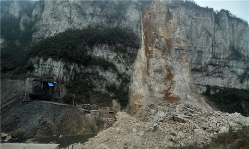
1:10万中巴经济走廊地质灾害活跃区潜在大型崩塌、滑坡、泥石流分布图
1:10万中巴经济走廊地质灾害活跃区(KKH 沿线的奥依塔克-塔合曼段、索斯特-洪扎段、加格洛特-雷科特段)潜在大型崩塌、滑坡和泥石流分布图......
2021-06-28
首页
上一页
4
5
6
7
8
最多关注
Catalogue dataset of M4.7 or above destructive earthquakes in the China Pakistan Economic Corridor and adjacent areas from 25 AD to 2018
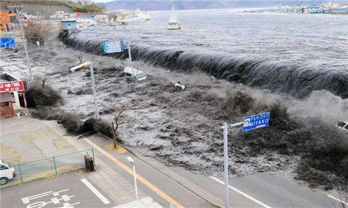
瓜达尔港海区海啸灾害风险评估报告
中巴经济走廊重点区段活动断裂调查报告
公元25-2018年1:200万中巴经济走廊及邻区破坏性地震震中分布图
中巴经济走廊重点区段地震台网建设布局技术报告
近期文章
Catalogue dataset of M4.7 or above destructive earthquakes in the China Pakistan Economic Corridor and adjacent areas from 25 AD to 2018
Cataloging dataset of major active faults in the China Pakistan Economic Corridor and adjacent areas
Catalog dataset of moment tensor solutions for earthquakes with magnitude 4 or above in key sections of the China Pakistan Economic Corridor from 2005 to 2018
Cataloging data of historical glacier disasters in the China Pakistan Economic Corridor from 1970s to 2018
Cataloging data of historical freeze-thaw disasters in the China Pakistan Economic Corridor from 1970s to 2018