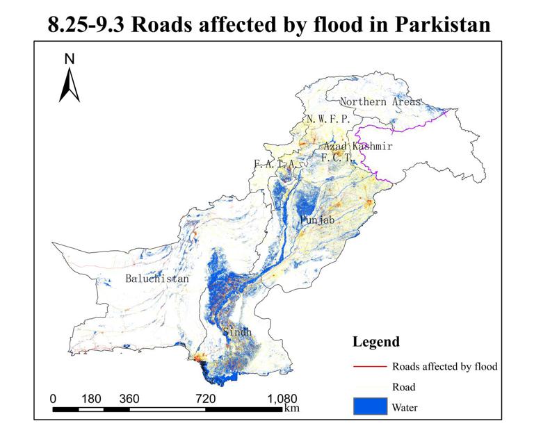
Dataset of flooded roads across Pakistan (2022)

Language
zh CN
Format
shp
Creator
Jingxuan Liu
Publisher
Juanle Wang
Contributor
Juanle Wang
Organization
Institute of Geographic Sciences and Natural Resources Research,CAS
Access constraints
Fully open and shared
Date
2022-09-04
Date creation
2022-09-04
Date publication
2022-09-04
Crs
WGS84
Information evaluation
Relevant information
- Building vector dataset of Pakistan (2022)
- Dataset of water body distribution in Khyber Pakhtunkhwa, Pakistan(2022/8)
- Dataset of flood distribution in Pakistan (2022)
- Pakistan Land Cover Dataset
- Pakistan Basic Image Dataset
- The composite image dataset of sentinels in Sindh and Punjab, Pakistan
- Dataset of flooded roads in Baluchistan, Sindh, Punjab, Pakistan(2022/8)
- Pakistan’s water system dataset (2022)
Data