
Forest change dataset for the upper Indus Valley
Release time:2023-10-08
Browsing times: 694
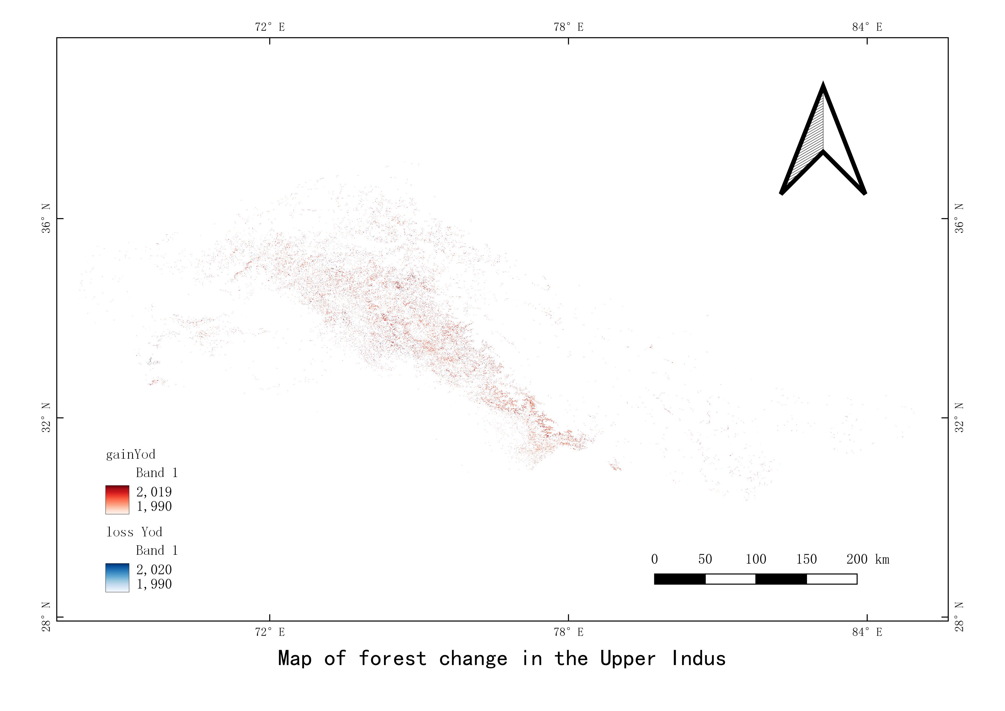
The upper reaches of the Indus River are the most important and fragile water towers in the South Asian subcontinent, providing crucial water supply for the 230 million people in the basin. Forests play an important role in soil and water conservation in the region, and the safety of upstream forest ecosystems is a prerequisite for downstream water and food security. A study was conducted on the information extraction of forest change footprints in the upper reaches of the Indus River Basin using multi-source remote sensing data, 8203 scene time series remote sensing images, and LandTrender temporal spectral segmentation algorithm.
Language
English
Format
tif
Creator
Wang,Juanle
Publisher
Institute of Geographic Sciences and Natural Resources Research,CAS
Contributor
Wang,Juanle
Organization
Institute of Geographic Sciences and Natural Resources Research,CAS
Access constraints
Fully shared
Other constraints
No
Crs
WGS84
Information evaluation
Relevant information