
China-Pakistan Economic Corridor water system buffer distance data
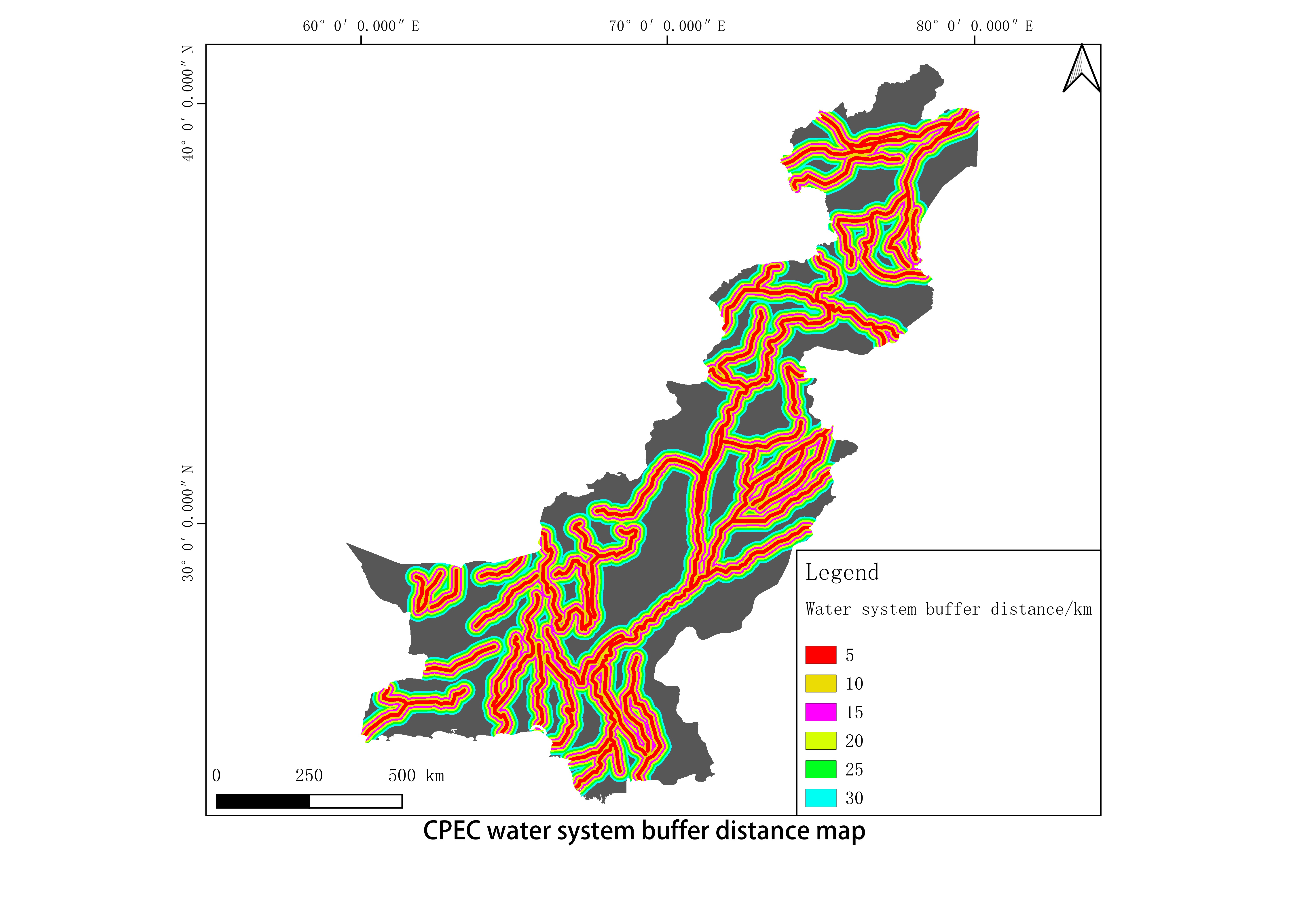
This data is the buffer distance data of the China-Pakistan Economic Corridor water system, a total of 1 phase, the original data is the 1:1 million river data released by the National Basic Geographic Information Center, and obtained after buffer zone analysis and masking. The data format is TIF format with a spatial resolution of 140 meters.
Language
zh CN
Format
tif
Creator
Qing Dong
Publisher
Institute of Aerospace Information Innovation, Chinese Academy of Sciences
Contributor
Qing Dong
Organization
Institute of Aerospace Information Innovation, Chinese Academy of Sciences
Classification
geography
Access constraints
Fully shared
Other constraints
No
Date
2021-11-18
Date creation
2021-11-18
Date publication
2021-11-18
Crs
WGS84
Distanceuom
km
Information evaluation
Relevant information