
Basic remote sensing image map about 1 km of the China Pakistan Economic Corridor (2020)
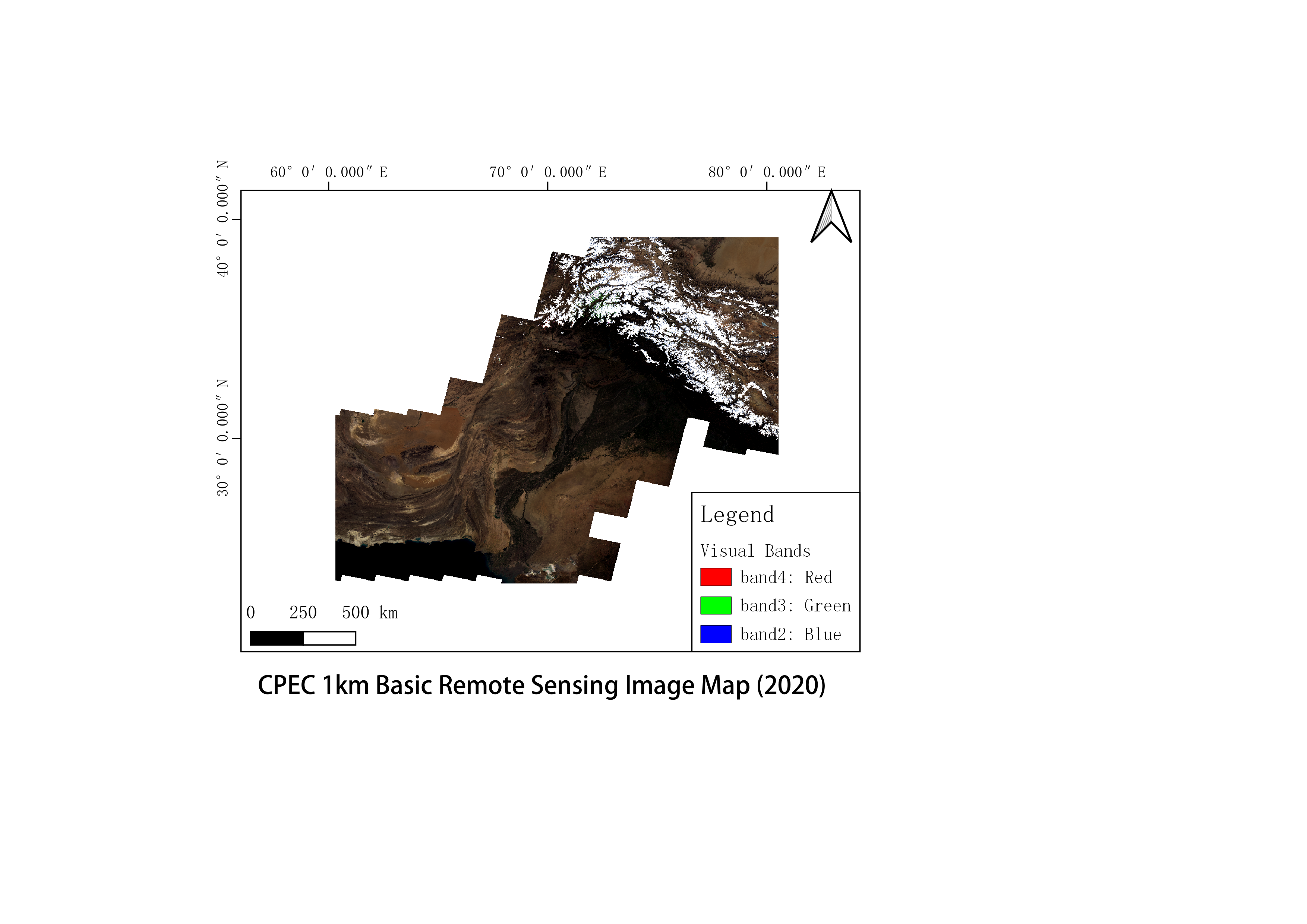
The data source is Landsat image data on the GEE platform. The data were obtained by de-clouding, clipping and compositing. Its spatial resolution is 1 km.
Language
zh CN
Format
geotiff
Publisher
Prof. Juan le Wang
Organization
Institute of Geographic Sciences and Natural Resources Research, Chinese Academy of Sciences
Classification
geography
Access constraints
Fully shared
Other constraints
No
Date creation
2022-09-01
Source
Landsat image
Crs
WGS84
Distanceuom
km
Information evaluation
Relevant information
- Annual consistency dataset for Pakistan's 500 meters NPP/VIIRS night light data
- Monthly consistency data of 500 meters NPPVIIRS luminous data throughout Pakistan
- China Pakistan Economic Corridor land cover dataset
- Pakistan wind energy resource dataset (2020)
- Land use dataset for the China Pakistan Economic Corridor region
- Pakistan’s water system dataset (2022)
- China Pakistan Economic Corridor Traffic Distribution Dataset (2022)
- Climatic zoning data set for Pakistan