
Data set of magnitude, intensity and peak ground motion acceleration of 1000m CPEC earthquakes from 1960 to 2000
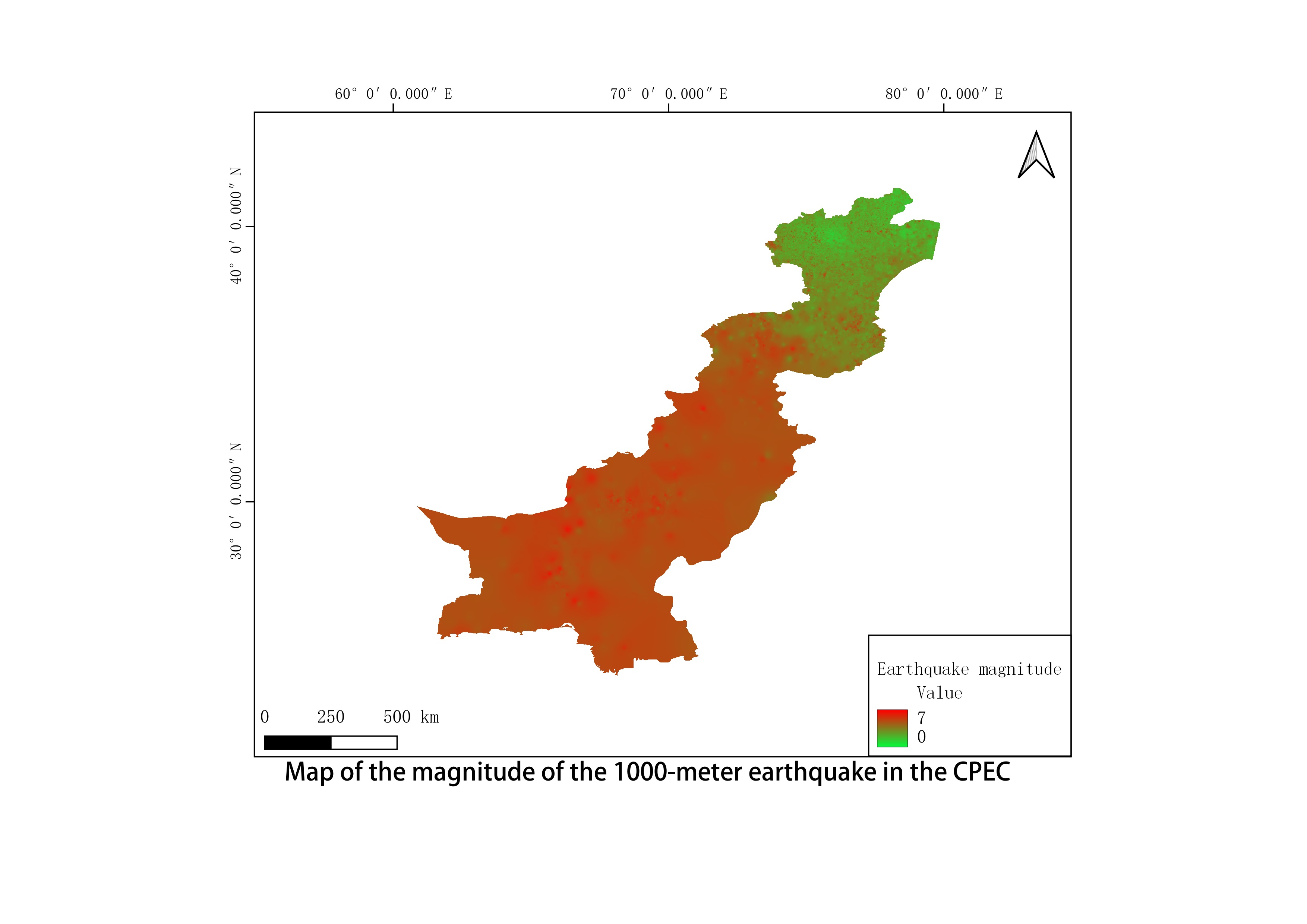
This data set covers the magnitude, intensity and peak acceleration data of 1000m earthquakes of China-Pakistan Economic Corridor from 1960 to 2000. The original data are earthquake point vector data of China-Pakistan Economic Corridor released by Chengdu Institute of Mountain Hazards and Environment, Chinese Academy of Sciences and National Data Center for Glaciology and Permafrost Desert Science. It is obtained by spatial interpolation, resampling and reclassification. The data format is TIF, and the spatial resolution is 1000 m.
Language
English
Format
geotiff
Creator
Wang,Juanle
Publisher
Institute of Geographic Sciences and Natural Resources Research,CAS
Contributor
Wang,Juanle
Organization
Institute of Geographic Sciences and Natural Resources Research,CAS
Access constraints
Fully shared
Other constraints
No
Date
1960-2000
Distanceuom
km
Information evaluation
Relevant information
- Data set for extreme warming process on the East Pamir Plateau at the North End of the China Pakistan Economic Corridor from 1961 to 2017
- China-Pakistan Economic Corridor in 1960-2000 1000m earthquake peak acceleration of ground motion
- China-Pakistan Economic Corridor 1000 meters seismic intensity dataset from 1960 to 2000
- Annual desertification distribution dataset of the China Pakistan Economic Corridor from 2000 to 2017
- China Pakistan Economic Corridor surface deformation dataset from 2014 to 2018
- Southwest China's historical seismic datasets of 26AD-2015AD
- China Pakistan Economic Corridor monthly temperature vegetation drought index dataset from 2000 to 2017
- Classification of soil types in the China Pakistan Economic Corridor