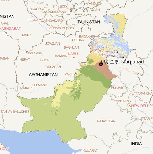
Using Google Earth cloud platform, climate data is selected as the basic data. On the basis of this data, the Pakistan climate zoning data set with a resolution of 10m is obtained by cutting....
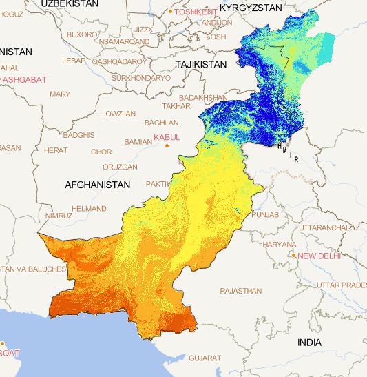
This data is the winter surface temperature data of
30 meters in the China Pakistan Economic Corridor
from 2018 to 2019, with a total of 1 phase.
The original data is Landsat 8 multispectral and
thermal infrared image data released by NASA and
the United States Geological Su...