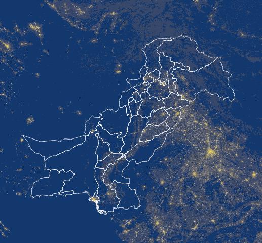
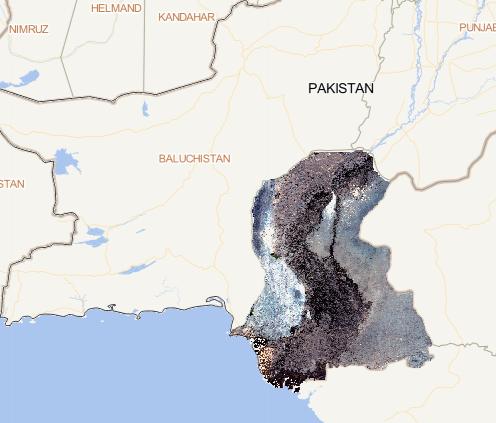
This dataset consists of 9 issues of annual 500 meter
NPP/VIIRS night light consistency data across Pakistan
from 2012 to 2020. The current issue is for 2015, and
the original data is monthly data released by the
National Oceanic and Atmospheric Administration
(NOAA/NGDC) of th...
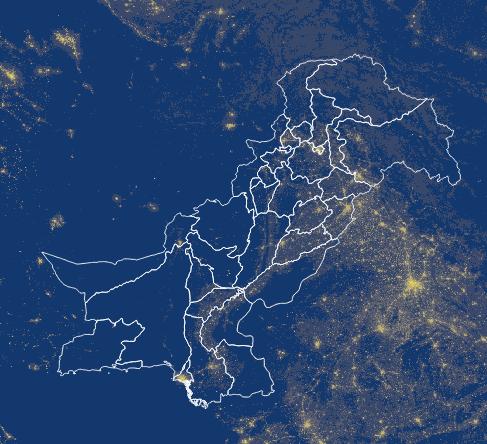
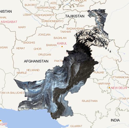
This dataset consists of 9 issues of annual 500 meter
NPP/VIIRS night light consistency data across Pakistan
from 2012 to 2020. The current issue is for 2014, and
the original data is monthly data released by the
National Oceanic and Atmospheric Administration
(NOAA/NGDC) of...
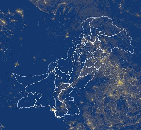
This dataset consists of 9 issues of annual 500 meter
NPP/VIIRS night light consistency data across Pakistan
from 2012 to 2020. The current issue is for 2013,
and the original data is monthly data released by the
National Oceanic and Atmospheric Administration
(NOAA/NGDC) of th...
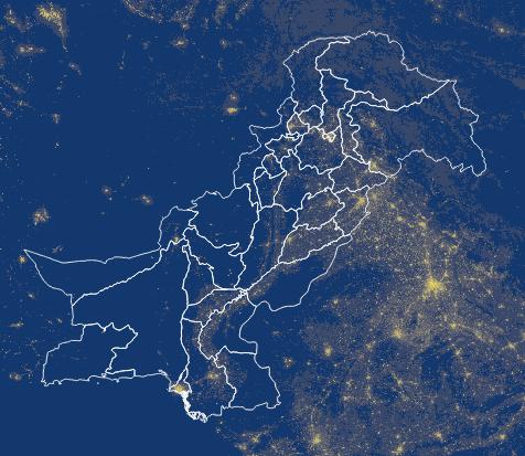
This dataset consists of 9 issues of annual 500 meter
NPP/VIIRS night light consistency data across Pakistan
from 2012 to 2020. The current issue is for 2012, and
the original data is monthly data released by the
National Oceanic and Atmospheric Administration
(NOAA/NGDC) of the...
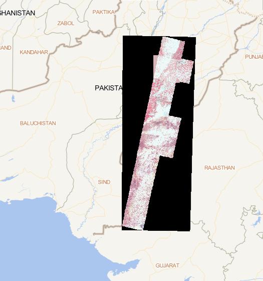
The data source is Landsat image data on the GEE platform. The data were
obtained by de-clouding, clipping and compositing. Its spatial resolution
is 1 km, and the spatial coordinate system is WGS 84....