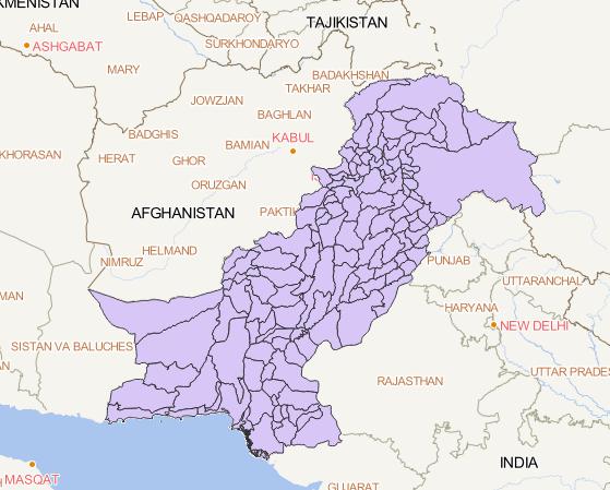
This dataset is a Pakistan administrative boundary dataset,
which includes Pakistan's borders, provincial
administrative boundaries, and municipal administrative
boundaries, and can be applied to basic research in
Pakistan.And the spatial coordinate system is WGS 84....
2023-08-15