logo

Humanities and Social Sciences maps
This data set covers the population data of the China-Pakistan Economic Corridor (CPEC) from 2001 to 2020, and the current period covers the population data of the CPEC from 2011. By integrating representative Wordpop and other data resources, the population distribution data...

2023-08-15

This data set covers the population data of the China-Pakistan Economic Corridor (CPEC) from 2001 to 2020, and the current period covers the population data of the CPEC from 2012. By integrating representative Wordpop and other data resources, the population distribution data...

2023-08-15

This data set covers the population data of the China-Pakistan Economic Corridor (CPEC) from 2001 to 2020, and the current period covers the population data of the CPEC from 2013. By integrating representative Wordpop and other data resources, the population distribution data...

2023-08-15

This data set covers the population data of the China-Pakistan Economic Corridor (CPEC) from 2001 to 2020, and the current period covers the population data of the CPEC from 2014. By integrating representative Wordpop and other data resources, the population distribution data...

2023-08-15

This data set covers the population data of the China-Pakistan Economic Corridor (CPEC) from 2001 to 2020, and the current period covers the population data of the CPEC from 2015. By integrating representative Wordpop and other data resources, the population distribution data...

2023-08-14

This data set covers the population data of the China-Pakistan Economic Corridor (CPEC) from 2001 to 2020, and the current period covers the population data of the CPEC from 2016. By integrating representative Wordpop and other data resources, the population distribution data...

2023-08-14

The Pakistan's traffic network dataset is made by using the water distribution data downloaded from DIVA-GIS official website. With the help of ArcGIS software, it can be sorted, cut and synthesized. The data set includes elements such as civil airports, railways and first-cl...

2023-08-11

2020 China Pakistan Economic Corridor Wind Energy Resource Distribution Map. Its spatial resolution is 30m, and the spatial coordinate system is WGS 84....

2023-08-11

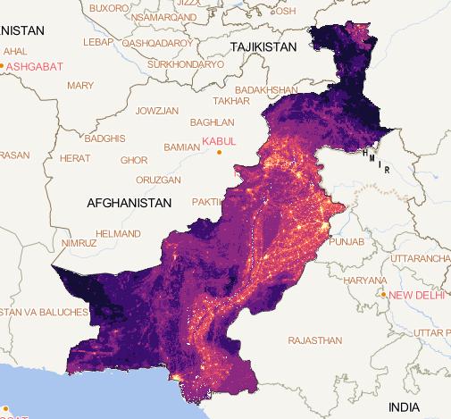
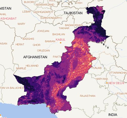
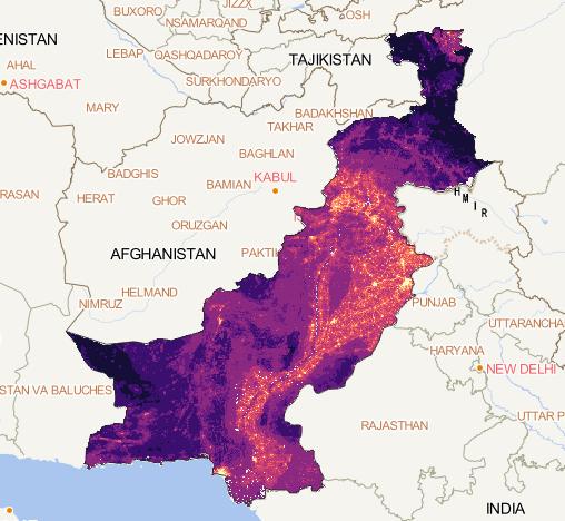
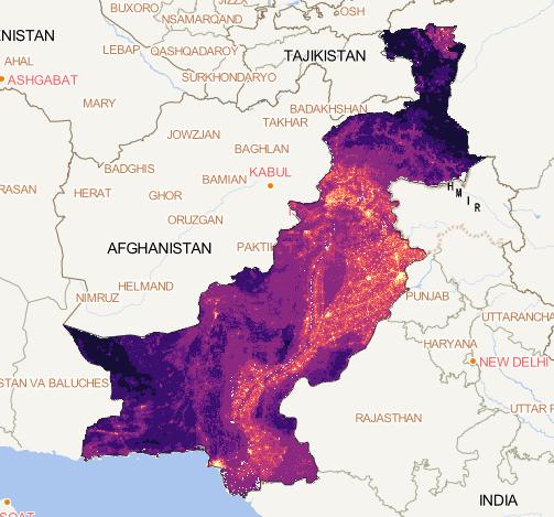
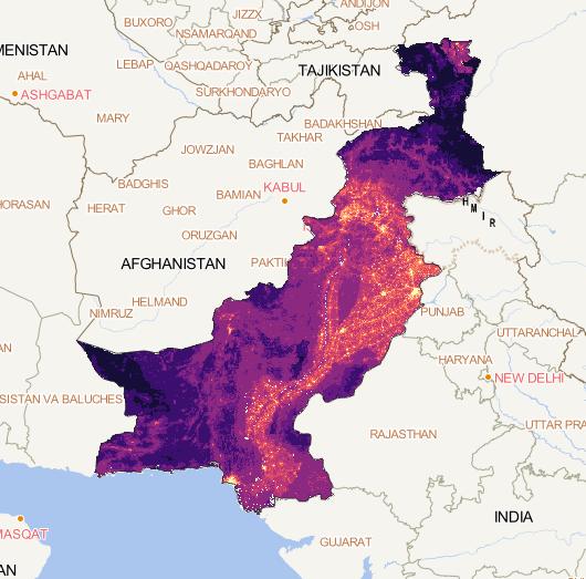
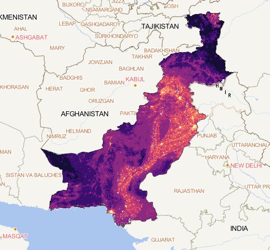
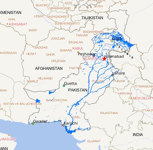
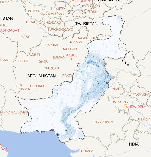
The Pakistan's water system dataset is made by using the water system distribution data downloaded from the DIVA-GIS official website. With the help of ArcGIS software, it can be sorted, cut and synthesized. The data set mainly includes the distribution of permanent rivers, lake...

2023-08-11

Use Google Earth engine platform to cut the GDP of Pakistan. The Pakistan GDP data set for 2020 was obtained. The resolution is 10m....

2023-08-11

Most attention

Recent articles