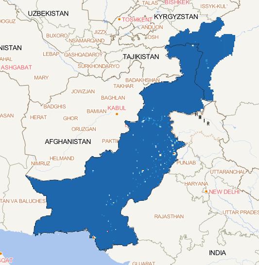
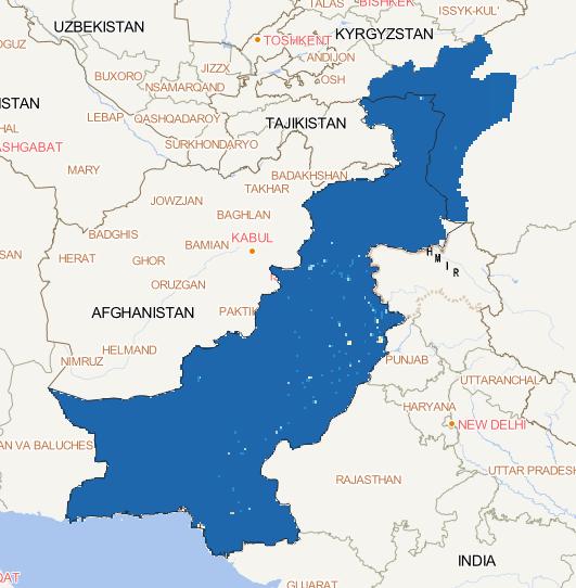
The spatial distribution of socio-economic (GDP)
of China-Pakistan Economic Corridor in 2015 was
obtained from global GDP grid data of DRYAD,
and the representative GDP data were downloaded
with a spatial resolution of 1 km and a spatial
coordinate system of WGS 84....
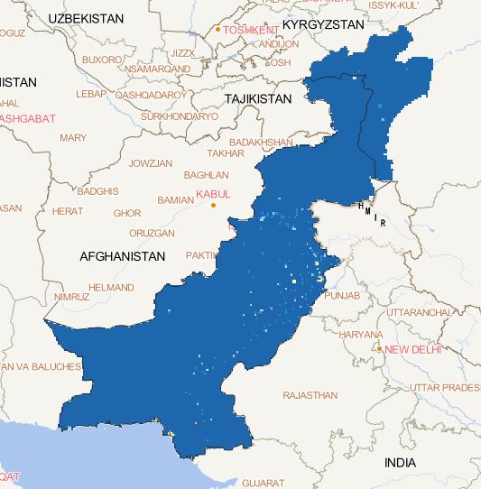
The spatial distribution of socio-economic (GDP)
of China-Pakistan Economic Corridor in 2014 was
obtained from global GDP grid data of DRYAD,
and the representative GDP data were downloaded
with a spatial resolution of 1 km and a spatial
coordinate system of WGS 84....
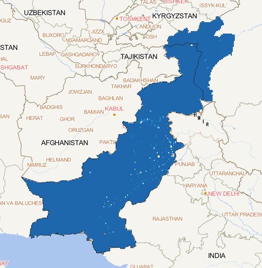
The spatial distribution of socio-economic (GDP)
of China-Pakistan Economic Corridor in 2013 was
obtained from global GDP grid data of DRYAD,
and the representative GDP data were downloaded
with a spatial resolution of 1 km and a spatial
coordinate system of WGS 84....
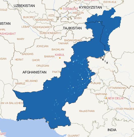
The spatial distribution of socio-economic (GDP)
of China-Pakistan Economic Corridor in 2012 was
obtained from global GDP grid data of DRYAD,
and the representative GDP data were downloaded
with a spatial resolution of 1 km and a spatial
coordinate system of WGS 84....
The spatial distribution of socio-economic (GDP)
of China-Pakistan Economic Corridor in 2011 was
obtained from global GDP grid data of DRYAD,
and the representative GDP data were downloaded
with a spatial resolution of 1 km and a spatial
coordinate system of WGS 84....
The spatial distribution of socio-economic (GDP)
of China-Pakistan Economic Corridor in 2010 was
obtained from global GDP grid data of DRYAD,
and the representative GDP data were downloaded
with a spatial resolution of 1 km and a spatial
coordinate system of WGS 84....
The spatial distribution of socio-economic (GDP)
of China-Pakistan Economic Corridor in 2009 was
obtained from global GDP grid data of DRYAD,
and the representative GDP data were downloaded
with a spatial resolution of 1 km and a spatial
coordinate system of WGS 84....
The spatial distribution of socio-economic (GDP)
of China-Pakistan Economic Corridor in 2008 was
obtained from global GDP grid data of DRYAD,
and the representative GDP data were downloaded
with a spatial resolution of 1 km and a spatial
coordinate system of WGS 84....
The spatial distribution of socio-economic (GDP)
of China-Pakistan Economic Corridor in 2007 was
obtained from global GDP grid data of DRYAD,
and the representative GDP data were downloaded
with a spatial resolution of 1 km and a spatial
coordinate system of WGS 84....
The spatial distribution of socio-economic (GDP)
of China-Pakistan Economic Corridor in 2006 was
obtained from global GDP grid data of DRYAD,
and the representative GDP data were downloaded
with a spatial resolution of 1 km and a spatial
coordinate system of WGS 84....